



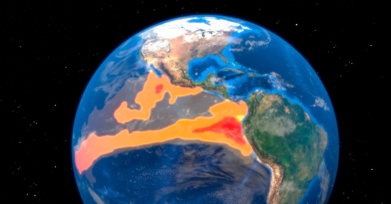

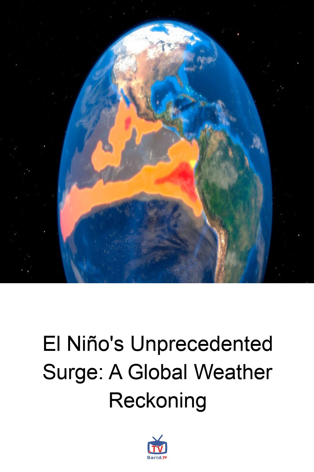
The world is bracing for an El Niño event of potentially unprecedented intensity, a meteorological phenomenon characterized by warmer-than-normal sea surface temperatures in the equatorial Pacific. Occurring every few years, El Niño triggers a complex chain reaction, releasing vast amounts of oceanic heat into the atmosphere, thereby influencing rainfall, temperatures, and even hurricane activity across the globe.
This year’s El Niño has rapidly gained strength at an exceptional pace, promising to reshape everything from global fisheries to winter ski seasons. While some regions, like the parched American Southwest, might welcome increased winter precipitation, the overall picture demands vigilance and preparedness. Understanding the mechanics of this powerful climate driver and its potential ramifications is crucial as we navigate the coming months.
Understanding El Niño: A Pacific Phenomenon
Defining an El Niño event hinges on specific oceanic heat thresholds in the Pacific. Meteorologists primarily focus on the Niño 3.4 region, an area within the eastern-central tropical Pacific. The US National Oceanic and Atmospheric Administration (NOAA) officially declares an El Niño when the three-month average sea surface temperature in this region registers 0.5 degrees Celsius (0.9 degrees Fahrenheit) above normal for three consecutive overlapping three-month periods.
While NOAA’s criteria are widely recognized, other agencies, such as Japan’s Meteorological Agency and the Australian Bureau of Meteorology, employ slightly different monitoring regions and incorporate atmospheric components into their assessments. Beyond elevated ocean temperatures, a hallmark of El Niño is the weakening of the east-to-west trade winds, allowing seawater to accumulate on the Pacific’s eastern side. Historically, during powerful El Niño events like those in 1997 and 2015, sea levels in this region have surged by more than 18 centimeters (7 inches) above average.
Global Weather Shifts: A Tilted Playing Field
These oceanic and atmospheric shifts profoundly influence global weather patterns. For instance, the US Southwest typically experiences increased rainfall, while the Pacific Northwest often sees a corresponding decrease. The Atlantic hurricane season tends to be milder with fewer storms. Conversely, regions like Indonesia and parts of southern Africa face heightened risks of drought. El Niño also often correlates with warmer winters in Japan, Australia, and Brazil. It’s important to remember that El Niño doesn’t dictate daily weather but significantly “tilts the odds” towards certain conditions, interacting with numerous other atmospheric phenomena.
The Rise of the “Super El Niño”
“Super El Niño” isn’t an official meteorological designation, but it’s a term scientists use to describe events where sea surface temperatures soar at least 2 degrees Celsius above average. While lacking a standardized definition, four events stand out in recent history as “super”: 1982–83, 1997–98, 2015–16, and the unfolding 2023–24 event.
Echoes from the Past: Super El Niño’s Impact
The 1982–83 Super El Niño brought record-breaking heavy snowfall to the Colorado River Basin in the US. Coupled with high spring temperatures and rainfall, the river’s flow surged to 1.5 times its average. This led to reservoirs overflowing and emergency releases, with Lake Mead nearing capacity and water spilling from the Hoover Dam for the first time in four decades, resulting in significant flood damage. This serves as a stark reminder that even seemingly “beneficial” impacts, like increased precipitation, can have devastating consequences.
More recently, the 1997–98 event triggered Indonesia’s worst drought in half a century. The 2023-24 Super El Niño, still in its early stages, has already contributed to southern Africa’s most severe drought in over a century, pushing approximately 61 million people into dire need of humanitarian aid.
The Current El Niño: A Rapidly Intensifying Threat
NOAA projects a greater than 90 percent probability of the current El Niño becoming “very strong” through the upcoming fall and winter. Modeling from Berkeley Earth suggests that median temperatures for the Niño 3.4 region could reach an astonishing 3.6 degrees Celsius above normal, even after accounting for long-term global warming trends. This would surpass the 2015–16 El Niño’s record by roughly 0.8 degrees Celsius – a significant margin considering the historical difference between the strongest and fifth-strongest events over the past 150 years was only about 0.5 degrees Celsius.
What makes this event particularly remarkable is its rapid development. Unlike the 2015 El Niño, which evolved from already rising sea surface temperatures, the current event began from conditions closer to a La Niña (a cooling phase). Yet, it is reportedly developing even faster than the powerful 1997–98 Super El Niño, underscoring its exceptional nature and the urgent need for global attention and preparedness.
The economic impact of El Niño, often underestimated, cannot be overlooked. From agricultural yields to commodity prices and disaster relief efforts, its ripple effects are felt across industries and nations, demanding proactive strategies to mitigate potential disruptions.
For more details, visit our website.
Source: Link