



Introduction to AlSat-3A
AlSat-3A is an optical remote sensing satellite developed by the China Academy of Space Technology (CAST) for the Algerian Space Agency. The satellite is part of the AlSat program, aimed at providing Earth observation capabilities for disaster monitoring and land observation. AlSat-3A was launched using the Long March 2C rocket and has a payload capacity that enables it to capture high-resolution images of the Earth’s surface.
Design and Development of AlSat-3A
The AlSat-3A satellite was manufactured in China and is the third flight unit of the AlSat program. The spacecraft is designed to operate in a sun-synchronous orbit, providing global coverage and enabling the monitoring of natural disasters, land use changes, and environmental phenomena. The satellite’s optical remote sensing capabilities allow it to capture images with a high spatial resolution, making it an essential tool for various applications such as agriculture, urban planning, and disaster response.
Key Features and Specifications of AlSat-3A
The AlSat-3A satellite has several key features and specifications that make it an advanced Earth observation satellite. Some of its notable features include:
Optical remote sensing capabilities with high spatial resolution
- Sun-synchronous orbit for global coverage
- Payload capacity for capturing high-resolution images
- Advanced navigation and control systems for precise orbit maintenance
- Long-term
operation with a design life of several years
Launch and Deployment of AlSat-3A
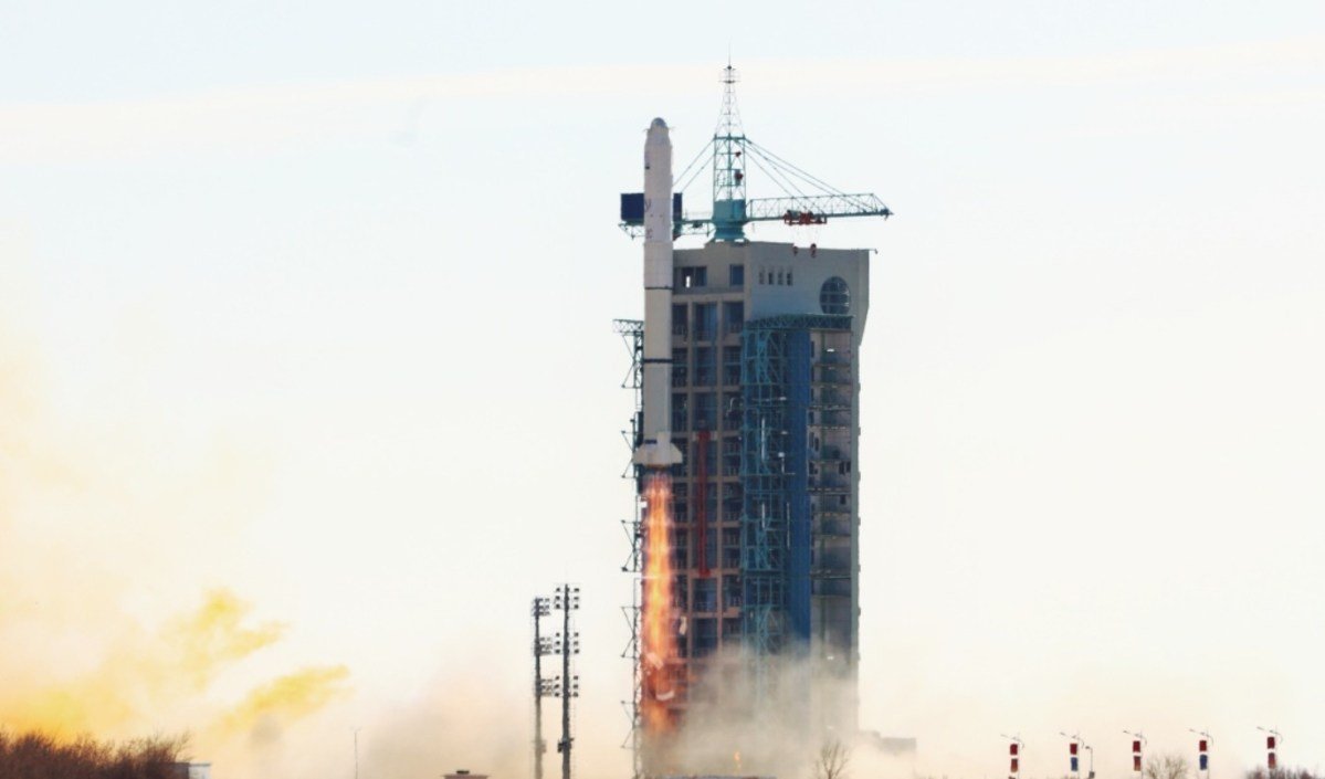
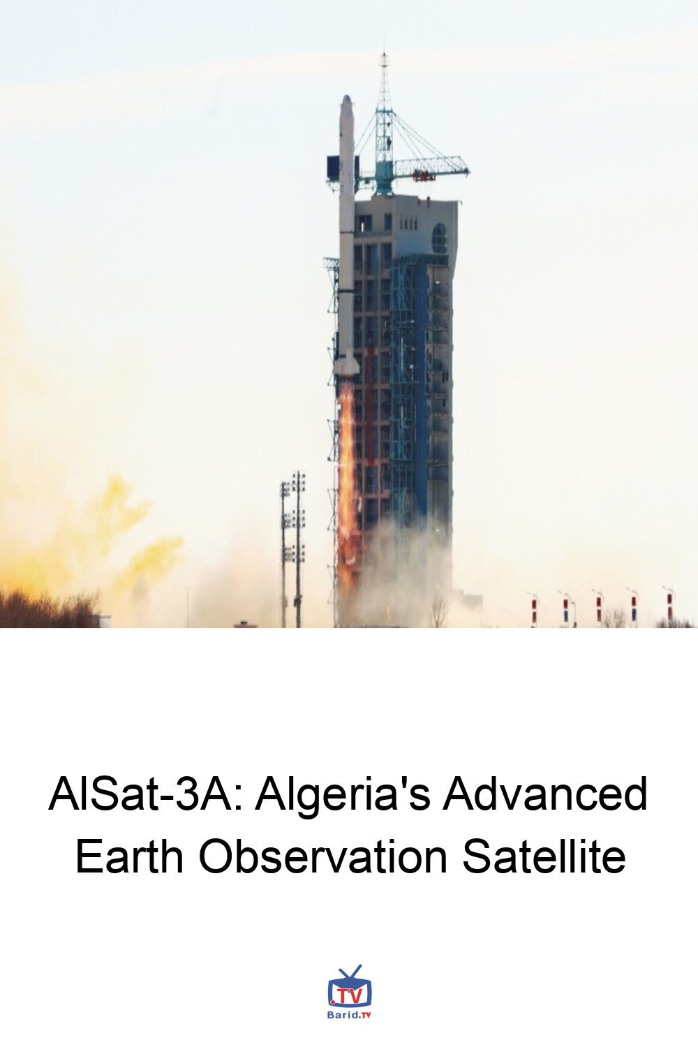
AlSat-3A was launched on a Long March 2C rocket, which is a two-stage launch vehicle developed by China. The launch took place from the Jiuquan Satellite Launch Center in China and placed the satellite into a sun-synchronous orbit. The satellite’s deployment was successful, and it began its operational phase soon after launch. The launch of AlSat-3A marked a significant milestone in Algeria’s space program, expanding the country’s capabilities in Earth observation and disaster monitoring.
Applications and Benefits of AlSat-3A
The AlSat-3A satellite has various applications and benefits, including:
- Disaster monitoring and response: AlSat-3A’s high-resolution images can be used to monitor and respond to natural disasters such as floods, landslides, and wildfires.
- Land use mapping: The satellite’s images can be used to create detailed maps of land use patterns, enabling urban planning, agriculture, and environmental management.
- Environmental monitoring: AlSat-3A can be used to monitor environmental phenomena such as deforestation, soil erosion, and water pollution.
- Climate change research: The satellite’s images can be used to study climate change patterns and trends, enabling scientists to better understand the impacts of climate change on the environment.
Conclusion
In conclusion, AlSat-3A is a significant addition to Algeria’s space program, providing advanced Earth observation capabilities for disaster monitoring and land observation. The satellite’s design, development, and launch demonstrate the capabilities of the China Academy of Space Technology and the Algerian Space Agency. With its various applications and benefits, AlSat-3A is an essential tool for various fields, including disaster response, environmental management, and climate change research.
FAQ
Here are some frequently asked questions about AlSat-3A:
- Q: What is the primary mission of AlSat-3A?
- A: The primary mission of AlSat-3A is land observation for disaster monitoring.
- Q: Who developed and launched AlSat-3A?
- A: AlSat-3A was developed by the China Academy of Space Technology (CAST) and launched by the Long March 2C rocket.
- Q: What is the orbital altitude of AlSat-3A?
- A: AlSat-3A operates in a sun-synchronous orbit with an altitude of approximately 627 km.
- Q: What is the design life of AlSat-3A?
- A: The design life of AlSat-3A is several years, enabling long-term operation and data collection.