





Introduction to AlSat 3
AlSat 3, comprising AlSat 3A and AlSat 3B, represents a significant advancement in the realm of Earth observation. These optical low Earth orbit satellites are designed to provide high-resolution imagery for civilian remote sensing applications. The AlSat 3 project is a testament to the growing importance of space technology in understanding our planet and managing its resources effectively.
Technical Specifications and Mission Objectives
The AlSat 3 satellites operate in a sun-synchronous orbit, which allows them to pass over the same point on Earth at the same local time each day. This consistent orbit, typically around 10:30, is strategic for Earth observation missions, enabling the monitoring of changes over time. The design life of these satellites is approximately 5 years, during which they will capture multispectral images of the Earth’s surface.
- Orbit: Sun-synchronous orbit
- Altitude: Approximately 489 by 627-kilometer-altitude
- Launch Date: January 15, 2026 (for AlSat-3A)
- Operator: ASAL of DZ
- NORAD ID: 67474
Applications of AlSat 3
The primary purpose of AlSat 3 is to provide high-resolution images for various applications, including but not limited to:
Agricultural monitoring: Assessing crop health, yield prediction, and irrigation management.
- Disaster response: Quickly assessing damage after natural disasters to prioritize relief efforts.
- Environmental
monitoring: Tracking deforestation, pollution, and climate change impacts.
Urban planning: Monitoring urban growth, infrastructure development, and land use changes.
Launch and Operational Details
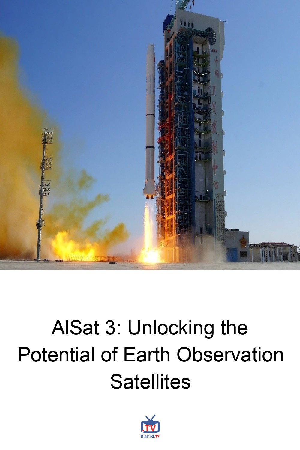
AlSat-3A was launched on January 15, 2026, marking a significant milestone in the AlSat 3 project. The satellite was placed into a circular, retrograde orbit, which is ideal for Earth observation missions requiring consistent sunlight conditions. The mass of the satellite and its precise orbital characteristics are crucial for maintaining the stability and efficiency of the mission.
Future Developments and Upgrades
As the AlSat 3 project progresses, there are plans for further enhancements, including the development of very high-resolution satellites. These future satellites will offer even more detailed images, expanding the range of applications and improving the accuracy of data analysis. The definition phase of AlSat-3, a very high-resolution satellite, is currently underway, promising to elevate the capabilities of the AlSat program.
Conclusion
AlSat 3 represents a crucial step forward in Earth observation, offering valuable insights into our planet’s condition. With its advanced multispectral imaging payload and strategic orbit, AlSat 3 is poised to contribute significantly to various fields, from agriculture and disaster response to environmental monitoring and urban planning. As the project evolves, with plans for higher resolution imaging and expanded applications, the potential of AlSat 3 to make a positive impact on global challenges is substantial.
FAQ
- Q: What is the primary purpose of AlSat 3 satellites?
- A: The primary purpose is to provide high-resolution images for civilian remote sensing applications.
- Q: What type of orbit do AlSat 3 satellites operate in?
- A: They operate in a sun-synchronous orbit.
- Q: What are the potential applications of AlSat 3 imagery?
- A: Applications include agricultural monitoring, disaster response, environmental monitoring, and urban planning, among others.