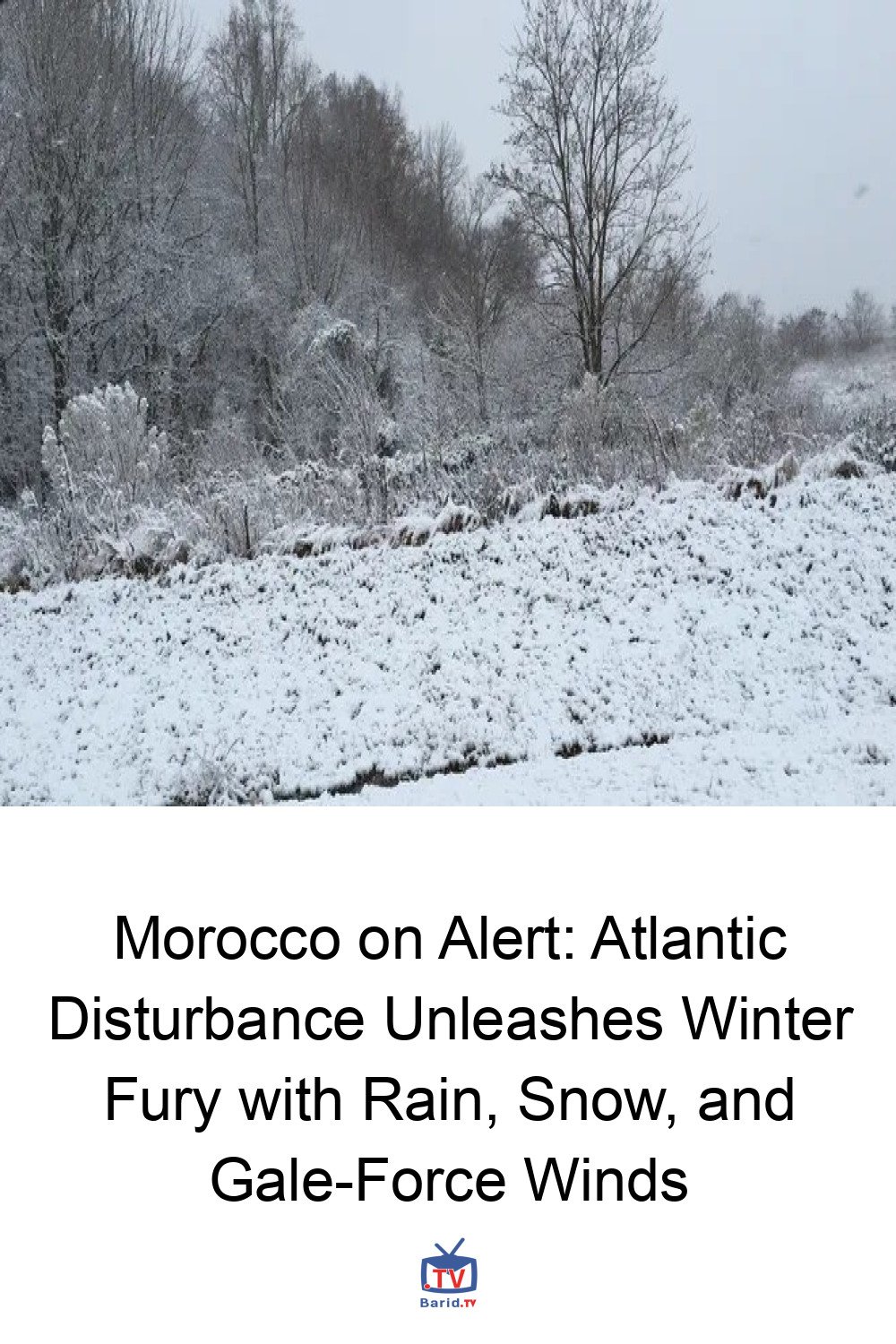
Morocco Braces for Turbulent Weather as Atlantic Disturbance Nears
is bracing for a significant shift in weather patterns as a powerful Atlantic disturbance approaches its shores. The National Meteorology Directorate (DGM) has issued a comprehensive forecast, warning citizens of turbulent conditions expected from Friday through Monday, bringing a potent mix of rain, snow, and strong winds across various regions.
The Approaching Atlantic System
According to Hussein Youabed, Head of Communication at the DGM, the impending system is set to deliver widespread rain and showers across the northern and central regions, extending its reach to the northern parts of the southern provinces. Beyond precipitation, the disturbance will also trigger strong winds along the northern and central coasts, accompanied by a noticeable drop in temperatures across the Atlas Mountains, the Rif region, and the high plateaus.
Youabed emphasized that while the system’s impact is clear, the precise rainfall amounts will be refined closer to its arrival, as measurements can vary significantly between different weather disturbances.
A Week of Contrasting Conditions
Pre-Storm Chill: Tuesday’s Outlook
Before the full force of the low-pressure system hits, Morocco is expected to experience a period of cold to very cold weather on Tuesday. Frost is anticipated to form in the Atlas, Rif, and high plateaus. Skies will be mostly cloudy, with occasional rain or showers predicted for the northern half of the country, including the Atlantic plains north of El Jadida. Meteorological data further suggests night-time rainfall in the Atlas, Rif, Saïss region, and the phosphate and Oulmes plateaus, with a possibility of snowflakes gracing the Atlas peaks. Relatively strong winds are also expected along the northern Atlantic coasts. Temperatures are forecasted to plummet to between -9°C and 1°C in the Atlas, -1°C to 9°C in the Rif and eastern/southeastern regions, 8°C to 13°C in the south and coastal areas, and 4°C to 8°C elsewhere, showing relative stability or a slight increase in some localized areas.
Mid-Week Intensification: Wednesday’s Forecast
Cold to very cold conditions will persist into Wednesday, with frost once again forming in the Atlas, Rif, and high plateaus. Cloudy skies with rain or showers are anticipated across a broad swathe of the country, including the Rif, Middle Atlas, northern plains, Saïss, phosphate and Oulmes plateaus, Mediterranean coasts, and eastern regions. Temperatures are expected to remain stable or see a slight increase.
Transition to Turbulence: Thursday’s Preview
By Thursday, cold to very cold weather will continue, particularly over the Atlas and eastern high plateaus. The southern provinces will experience mostly cloudy skies. Relatively strong winds are expected to pick up on the northern Atlantic coasts, the Atlas, central coasts, central regions, and the northern parts of the southern provinces. Despite the wind, temperatures are generally expected to rise compared to the preceding days.
DGM’s Urgent Advisory
In light of the approaching Atlantic disturbance, the DGM strongly urges all citizens to stay continuously updated with the latest weather forecasts and to take all necessary precautions to ensure their safety and well-being during this period of turbulent weather.
For more details, visit our website.
Source: Link


