The Looming Threat: A Shifting Forecast
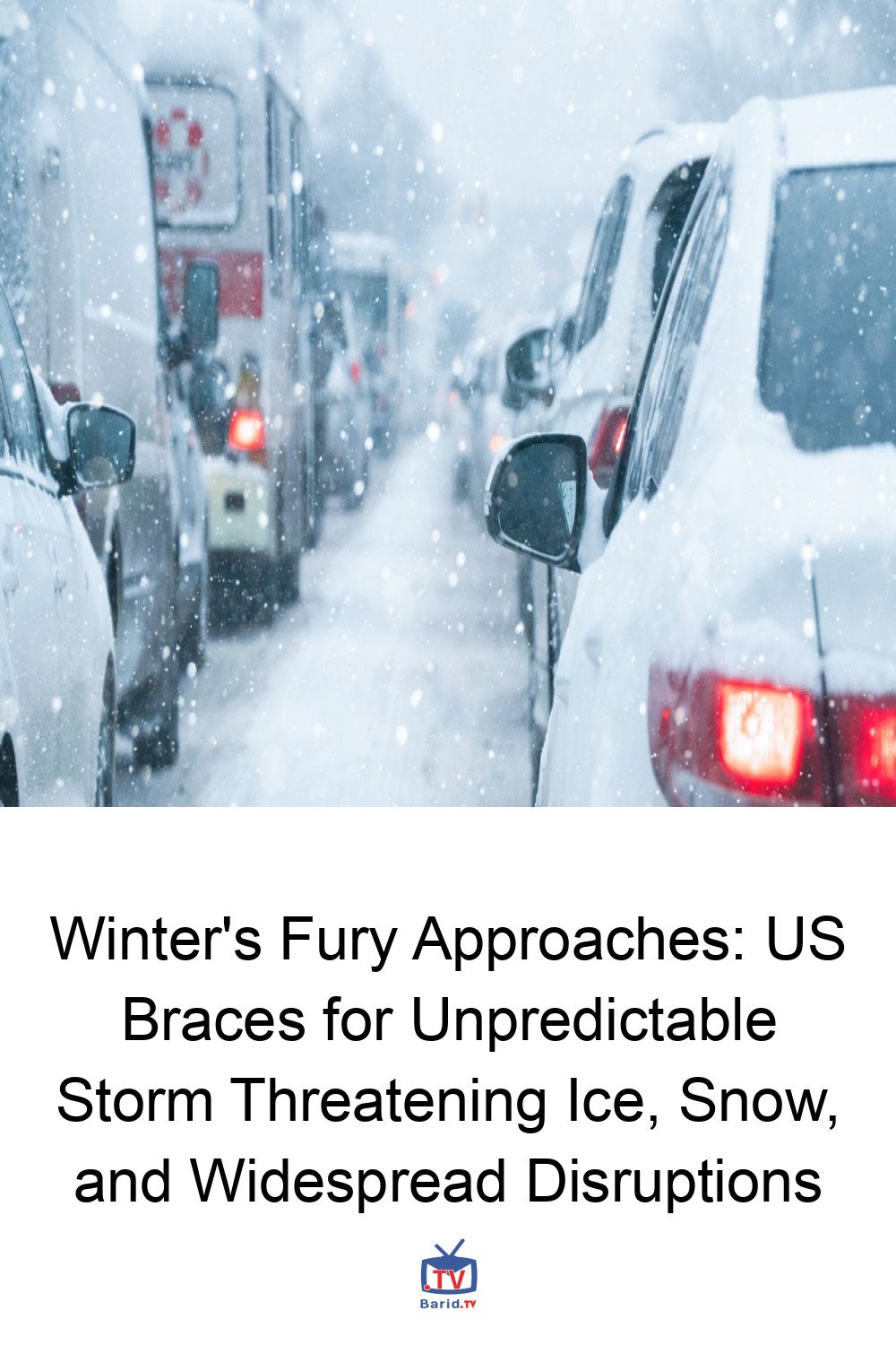
As the United States stands on the precipice of a potentially severe winter storm, meteorologists are grappling with rapidly evolving data, painting a picture of significant uncertainty and widespread impact. What began as a forecast for substantial snow has, for some regions, morphed into a dire warning of crippling ice, underscoring the dynamic nature of atmospheric predictions.
From Snow to Ice: A Meteorologist’s Evolving View
Just days ago, meteorologist Sean Sublette, based in Virginia, was advising his community to prepare for heavy snowfall. Initial models pointed towards a significant snow event for the Mid-Atlantic and Northeast, with considerable ice extending into the Carolinas and Tennessee Valley. However, the landscape of the forecast dramatically shifted. “I go through the data again, and I go, ‘Oh, f***,’” Sublette recounted, describing his Wednesday morning realization. The models now suggest his central Virginia area could face “crippling amounts of ice.”
This isn’t just about a change in precipitation type; it’s about a change in threat level. Freezing rain, a liquid precipitation that solidifies upon contact with surfaces, is notoriously destructive. It accumulates on power lines and tree branches, weighing them down until they snap, leading to widespread and prolonged power outages. While Sublette cautions against premature alarm, he acknowledges this data as a “sobering chunk” indicating a serious risk.
The Anatomy of an Unpredictable Storm
Meteorologists emphasize that pinpointing the exact regional impacts of this weekend’s storm remains challenging. Yet, the consensus is clear: preparation is paramount, and vigilance for updated local forecasts is crucial.
A “Waterlogged” System with Key Variables
Matthew Cappucci, an atmospheric scientist and meteorologist contributing to The Washington Post’s Capital Weather Gang, highlights a critical factor: the storm system is “absolutely waterlogged,” having drawn substantial moisture from the Gulf of Mexico. This guarantees significant precipitation across much of the southern and eastern U.S. The wild card, however, lies in how other atmospheric elements will interact, particularly a cold, low-pressure eddy – an “upper level low” – forming over the Pacific. Its precise formation will dictate the type and location of precipitation.
“A wide swath of the southern and eastern United States will see 2-plus inches’ worth of water,” Cappucci explains. “Whether that comes down as rain, snow, sleet, freezing rain, or a combination remains the wild card.”
NWS Issues Key Messages: A Broad Stroke Forecast
The National Weather Service (NWS) has issued a series of “Key Messages” regarding the impending storm. Heavy snow is projected to begin Friday, sweeping from the Rocky Mountains and Plains eastward to the East Coast by Sunday. South of this snow zone, freezing rain and sleet are anticipated. NWS maps illustrate the storm’s vast reach, potentially impacting nearly 30 states, from New Mexico and Texas in the west to Maine in the north and Georgia in the south.
Preparing for the Worst: Lessons from History
While current NWS advisories are “messages” rather than full-blown warnings, the available data strongly suggests the need to prepare for worst-case scenarios. Many regions in the storm’s path are historically vulnerable to extreme winter conditions.
Echoes of Past Disasters: Georgia, South Carolina, and Texas
The memory of past winter disasters serves as a stark reminder. A 2014 ice storm in Georgia and South Carolina left communities without power for days. More recently, the devastating winter storm in Texas just five years ago caused a two-week power outage and was linked to nearly 250 fatalities. These events underscore the critical importance of preparedness, especially for areas unaccustomed to such severe conditions.
The Peril of Post-Storm Cold
Adding to the concern is the forecast for a prolonged period of cold temperatures immediately following the storm, mirroring the conditions that exacerbated the Texas crisis. Should snow or ice disrupt power lines or render roads impassable, the combination of extreme cold and lack of heat could create life-threatening situations. Sublette paints a grim picture: “It’s 20 degrees… Stuff starts weighing down. Stuff starts getting knocked over, and you’ve got thousands of power outages by Monday morning. People start losing heat. It’s only 28 degrees in the afternoon—oh my God, we’ve got a problem.”
Navigating the Information Storm: Trusting Reliable Sources
In the face of such a significant weather event, both Sublette and Cappucci caution against succumbing to alarmist predictions or misinformation circulating online.
Cutting Through the Noise
“There is an abundance of misinformation out there and information overload,” Cappucci warns. He stresses the public’s need to discern reliable information amidst a “sea of clickbait, hype, and monetized posts.”
Your Local Forecast: Your Best Guide
As the storm continues to develop, forecasts will become increasingly specific. The most crucial advice from meteorologists is to monitor up-to-date information from trusted local sources over the coming days. Preparing for potential power outages, stocking essential supplies, and having an emergency plan are prudent steps for anyone in the projected path of this unpredictable winter storm.
For more details, visit our website.
Source: Link


